7.2 magnitude earthquake hits Taiwan’s Yujing city, tsunami alert issued

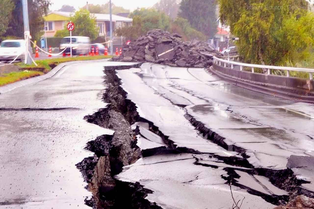
On Sunday, a powerful earthquake shook the independent island of Taiwan off the coast of China. In Yujing, Taiwan, there has been a 7.2 magnitude earthquake. At about 12:14 pm Indian time, there were earthquake tremors of such a powerful strength. According to the US Geological Survey, a powerful 7.2-magnitude earthquake occurred on Sunday 85 kilometers east of Yujing, Taiwan.

Related Post – What is Inbound Marketing? 4 Inbound Marketing Strategies That Every Business Should Use

A two-story residential building collapsed not far from the epicenter of the earthquake, according to Taiwanese media. There were also earthquakes in Taipei, on the island’s northernmost point. The quake, according to the USGS, occurred just one day after a 6.5-magnitude quake.

A tsunami warning has been issued by the Japan Meteorological Agency in response to the Taiwan earthquake. Residents of these places have been cautioned by weather officials to avoid going to the beach.

It is reported that until an earthquake with a magnitude of 7.0, this island does not issue a tsunami warning. According to the agency, the first waves hit close to Yonaguni, the westernmost island of Japan, which is located around 250 kilometers (150 miles) northeast of Taitung. At 4:10 PM, these waves can reach Taiwan.

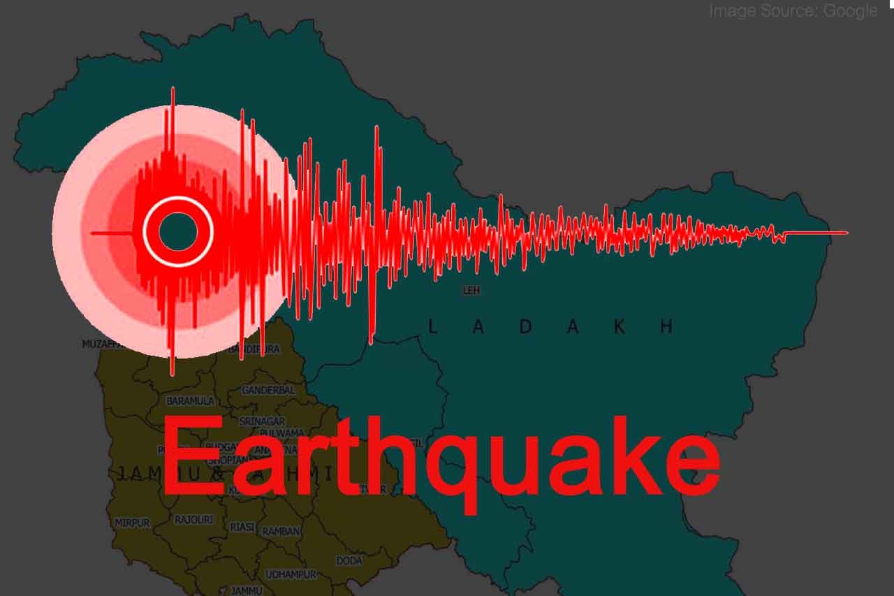
A frequent earthquake occurs in Taiwan because it lies at the convergence of two tectonic plates. There was news of an earthquake on Saturday in Taiwan’s eastern coastal region. However, this 6.6-magnitude earthquake caused no injuries or property damage. The US Geological Survey reports that the earthquake struck at about 9:30 pm, about 50 kilometers from Taitung, a seaside town in the north. In terms of depth, its center was ten kilometers deep. The earthquake’s depth was 7.3 kilometers, and its magnitude was 6.4, according to Taiwan’s Central Weather Bureau.

Strong Earthquake were felt in the Philippines on Wednesday, the magnitude of the earthquake was 7.0, no casualties were reported

At 6.13 am on Wednesday, the Philippines began to experience strong earthquake vibrations. According to an ANI report; on the Richter scale, the earthquake had a magnitude of 7.0. During this time, no injuries have been reported, and no tsunami warning has been issued. According to the Institute of Volcanology and Seismology of the Philippines, the earthquake’s epicenter was 25 kilometers beneath the surface, in the mountains of the province of Abra.

Related Post – Respect is everyone’s right, says Dynamic Digital Creator Sandeep Karmakar

Even after the earthquake, aftershocks continued to occur

After the earthquake, a number of aftershocks were felt. According to officials, the powerful shakes of the earthquake caused cracks in the walls of homes and businesses. It is important to note that the Philippines is an area that is prone to earthquakes. In the nation in 1990, a 7.7-magnitude earthquake claimed the lives of about 2,000 individuals.

Metro train stopped

Manila experienced a significant tremor, according to the transport ministry. In the wake of the earthquake, the metro rail system was shut down. A number of other buildings in the capital have been evacuated, including the Senate. There is a possibility that the earthquake may damage Abra.

Earthquake: Jammu and Kashmir experiences earthquake tremors, magnitude was 4.3 on Richter scale

Jammu and Kashmir experienced earthquake tremors this morning. There was an earthquake measuring 4.3 on the Richter scale. Tremors were felt around 7:29 am, according to the National Center for Seismology. The earthquake measured 4.3 on the Richter scale. National Center for Seismology confirms the earthquake.

Related Post – Top Professional Hairstylists In Kolkata

186 km north of Alchi in Leh, this earthquake occurred, according to information from the National Center for Seismology. As soon as the earthquake was reported, people fled their homes. No one has been injured or property damaged as of yet.

Earthquake of magnitude 3.6 recorded in Karnataka’s Chikkaballapura

CHIKKABALLAPURA: On Thursday, December 23, another earthquake struck Chikkaballapur, just a day after two simultaneous tremors struck the region. The National Center for Seismology (NSC) reported an earthquake of magnitude 3.6 on Thursday in Chikkaballapur, Karnataka.

Related Post – The importance of a digital marketing strategy to small businesses

“Earthquake of Magnitude:3.6, Occurred on 23-12-2021, 14:16:18 IST, Lat: 13.54 & Long: 77.74, Depth: 18 Km ,Location: Chikkaballapura, Karnataka,” tweeted NSC.

According to the Karnataka State Natural Disaster Monitoring Centre (KSNDMC), the earthquake’s epicenter was located 1.2 kilometers southeast of Sadenahalli village, Gollahalli GP.

Related Post – The size of the Influencer Marketing Industry may cross 2200 crore by 2025 in India

Exit mobile version